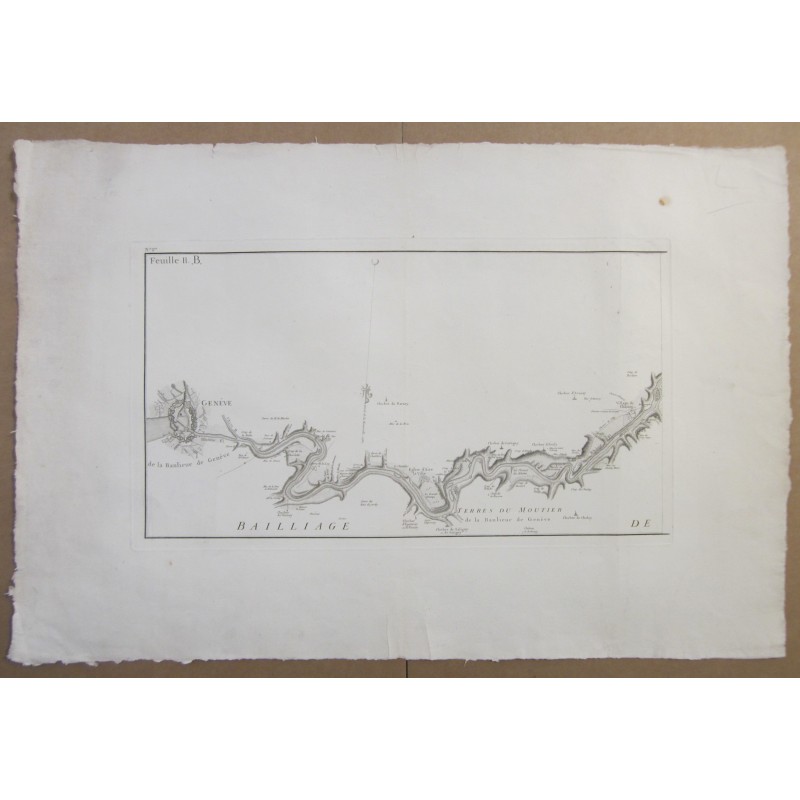
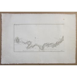
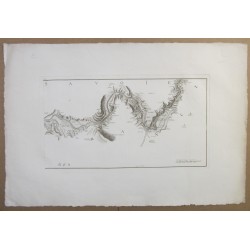
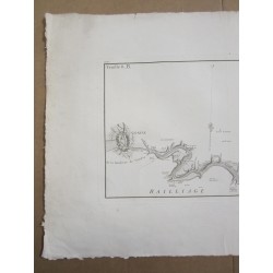
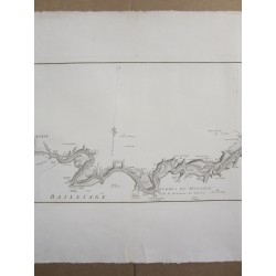
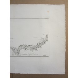
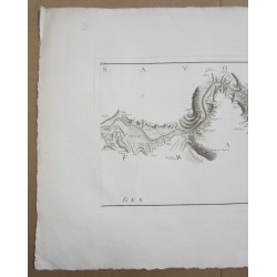
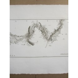
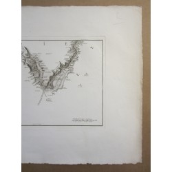
Carte géométrique d'une partie du cours du Rhône pour servir à la nouvelle limitation des États de France et de Savoie. 1760.
Two large sheets represent part of the course of the Rhône to be used for the new limitation of the States of France and Savoy. 1760.
(Document on 'archives de la Bibliothèques municipales de Chambéry' CAR SAV B 000.182.)
Villaret, Jean (1703-1784 ; ingénieur géographe).
Cartographe Delahaye, Guillaume-Nicolas (1727-1802).
Bourcet, Pierre-Joseph de (1700-1780). Éditeur scientifique.
Please see the 6 photos !
Size of each sheet: 58 x 87 cm
Size of the prints : 34.50 x 60.50 cm
Data sheet
Carte géométrique d'une partie du cours du Rhône pour servir à la nouvelle limitation des États de France et de Savoie. 1760.