
Antique map from 1812
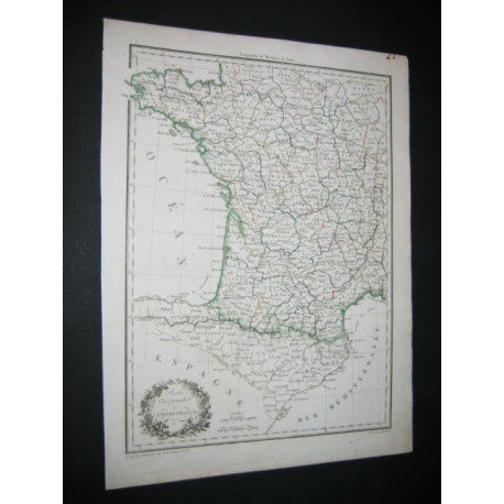
Antique map from 1812, colorhanded (stroke, line) from the time. Title: West part of the French Empire. France. Napoleon. Good conditions.
Date of publication : 1812
Sheet marks :
9.83 inch X 13.36 inch
Plate marks :
8.65 inch X 11.79 inch
Antique map from 1812