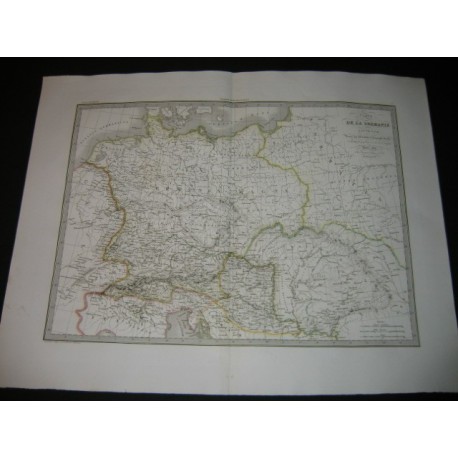
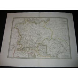
Original print from the 19th c.
Géographic map drawn up by Lapie, geographer of the king. Stamp. Some watercolor highlights. Central fold. Germany.
Date of publication : 1832
Author : Lapie
Sheet marks :
26.72 inch X 20.44 inch
Plate marks :
21.62 inch X 15.72 inch
Original print from the 19th c.